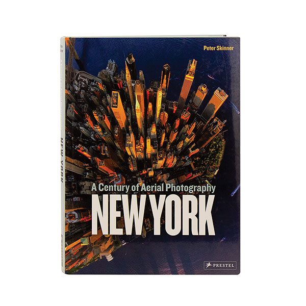
From the ground, New York City can feel like a chaotic jumble, and it may be that America's tallest city can be better understood from the air. Beginning with 17th-century maps of Manhattan, this series of chronological photos show the city's northward expansion, the establishment of its grid system, and the creation of Central Park. As buildings rise ever-higher, the shoreline expands with ports and landfills—and as more sophisticated photographic techniques allow for breathtaking views of NYC's unmistakable skyline—the images here capture a city that is truly alive.
New York: A Century of Aerial Photography
Author: Peter Skinner.