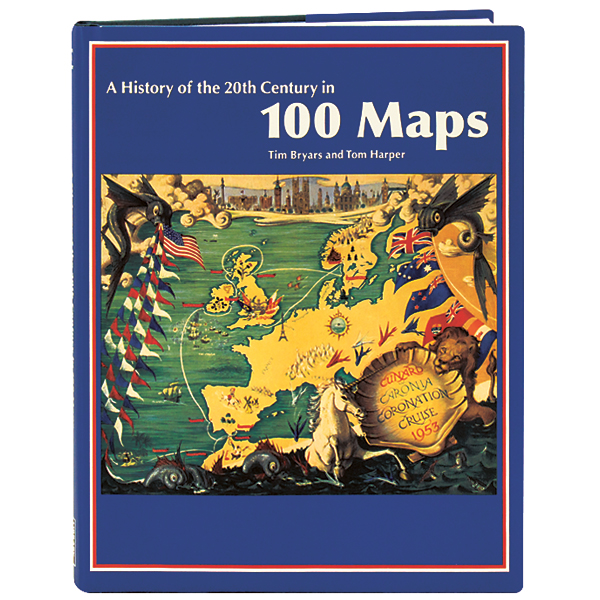
The 20th century was a golden age of mapmaking, with maps permeating almost every aspect of daily life, not only chronicling geography and history but also conveying myriad political and social agendas. Shedding a unique light on the modern age, the 100 full-color maps in this book include Ernest Shackleton's sketch of Antarctica, a Japanese spy map of Pearl Harbor, a tourists' guide to occupied France for German soldiers, J.R.R. Tolkien's drawing of Middle Earth, images from the urban-planning video game SimCity, and a depiction of the route followed by Princess Diana's funeral procession. Tim Bryars and Tom Harper provide short essays for each of these maps, explaining their history and what these cultural artifacts say about their era.
A History of the 20th Century in 100 Maps
Author: Tim Bryars & Tom Harper
A History of the 20th Century in 100 Maps
Author: Tim Bryars & Tom Harper
$14.98
Item #: D73940
Format: Cloth
Pages: 240
Publication Date: 2014
Publisher: British Library
ISBN: 9780712356114
The 20th century was a golden age of mapmaking, with maps permeating almost every aspect of daily life, not only chronicling geography and history but also conveying myriad political and social agendas. Shedding a unique light on the modern age, the 100 full-color maps in this book include Ernest Shackleton's sketch of Antarctica, a Japanese spy map of Pearl...
More