Unseen Extremes: Mapping the World's Greatest Mountains

Author: Stefan Dech, Reinhold Messner & Nils Sparwasser.

Unseen Extremes: Mapping the World's Greatest Mountains

Author: Stefan Dech, Reinhold Messner & Nils Sparwasser.

$9.99 $5.99
Item #: D21468
Format: Hardcover
Pages: 240
Publication Date: 2016
Publisher: Thames & Hudson
ISBN: 9780500518892
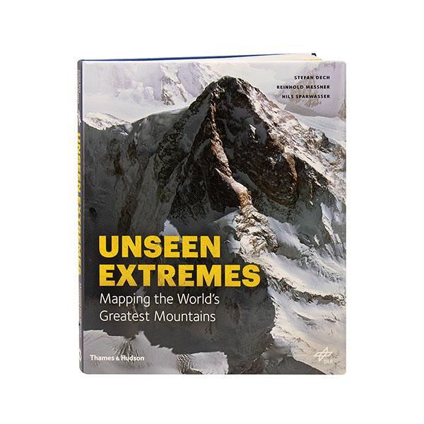
How exactly does one map a mountain? Scientists from the DLR German Aerospace Center used high-resolution satellite data to create remarkably accurate 3-D maps of 13 of the highest and the most inaccessible mountains in the world, including Everest, K2, Denali, Aconcagua, Matterhorn, Mont Blanc, and Nanga Parbat. Here they turn those digital terrain models i... More
No longer available

How exactly does one map a mountain? Scientists from the DLR German Aerospace Center used high-resolution satellite data to create remarkably accurate 3-D maps of 13 of the highest and the most inaccessible mountains in the world, including Everest, K2, Denali, Aconcagua, Matterhorn, Mont Blanc, and Nanga Parbat. Here they turn those digital terrain models into stunning photorealistic images up to 20 inches across, creating virtual landscapes that reveal previously impossible viewpoints and an unprecedented degree of detail. Along with some 200 illustrations, this album includes a history of mountaineering and firsthand accounts by great climbers, offering a true portrait of these peaks.

Virtual Catalog